Know Where to go with the Best Fishing Maps
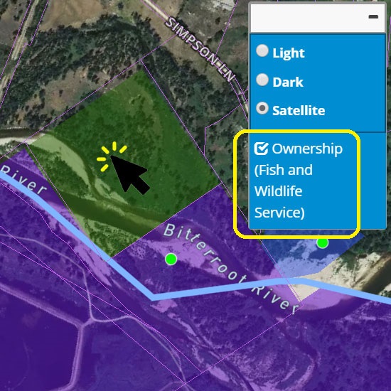
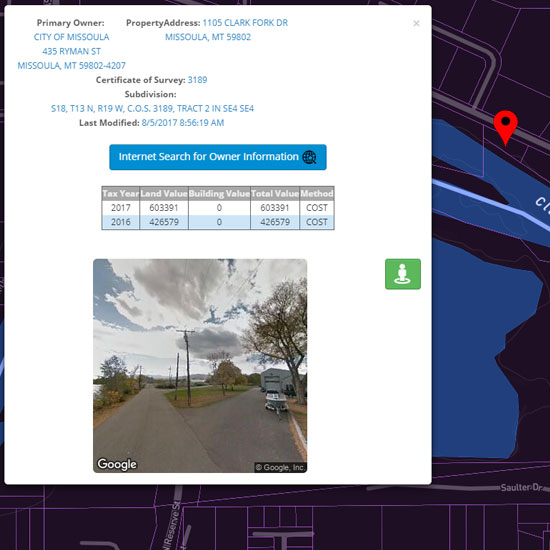
Whacking Fatties provides public and private land ownership information.
Type of ownership is designated by color on the map, i.e. green shaded areas are U.S. Forest Service.
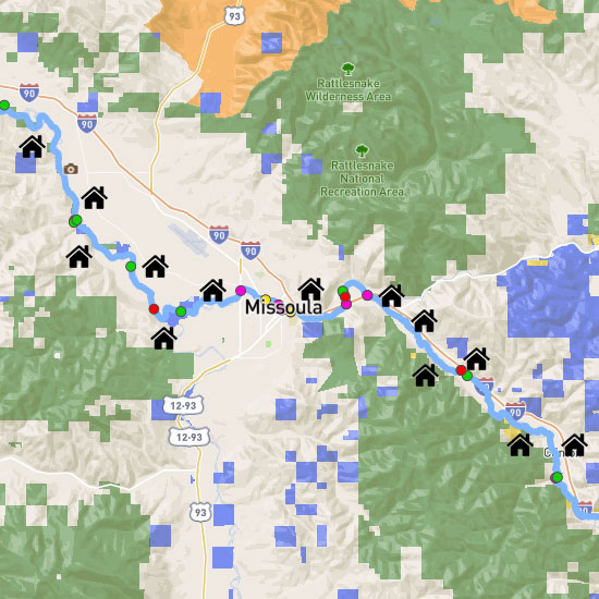
Determine Land Ownership
When hovering or tapping the map, the type of landownership will be displayed.
On smaller devices, click button to open box displaying ownership information.
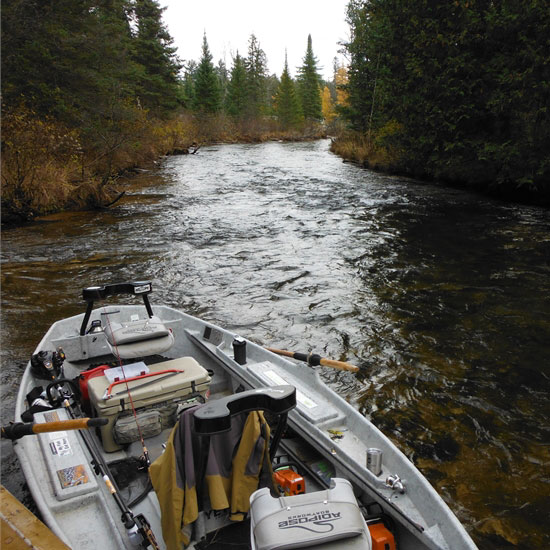
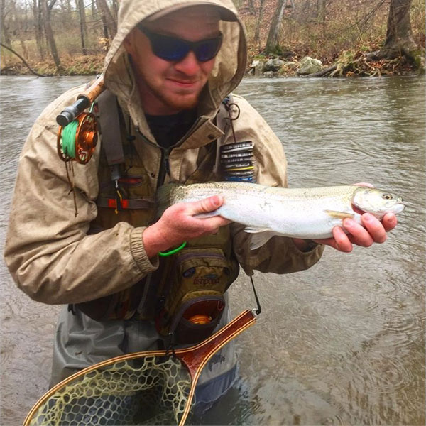
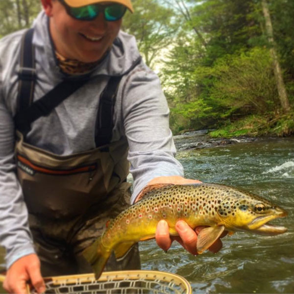
Fishing from Private Land
In some parts of the United States, greater than 80% of land is under private ownership, access for most shoreline and stream fishing occurs over private property.
Access to private land is a privilege provided to us through the generosity of landowners.
Practicing positive landowner relations is the key to maintaining access for present and future generations.
Ask First
Plan to obtain permission whether the land you would like to fish is posted or not, as it is a courtesy and act of respect to the landowner.
With Whacking Fatties, the owner can easily be identified through the map. Zoom down until property boundaries are viewable and click on the map. Ownership contact info will be displayed.
Owner contact info only available in Montana, Washington, Utah, Wisconsin, North Carolina, Vermont, Maine, New Hampshire, Massachusetts, and parts of California and New York. More availability coming soon.
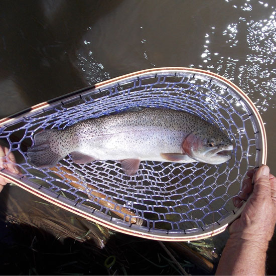
While Fishing
Remember you are the guest of the landowner.
Treat their property with the same care and respect you would if it were your own and respect any requests made to you by the landowner.
Future of Fishing
Access is one of the greatest challenges facing anglers and a significant threat to the future of the sport.
Always be the best ambassador of fishing you can be in your actions and words.
Treat the landowner, as you would like to be treated and treat their land, as you would like yours to be treated.

Know where to fish with the best ownership maps
Use Whacking Fatties to discover new access to your favorite streams through the best public and private land ownership maps